

Before Clearing a Custom-Home Lot
By David K
8 min read

Before a custom-home lot is cleared, the current site information and applicable approvals should be reconciled with the exact field plan. The project team should confirm who has authority over the property, identify the approved limits of disturbance, mark the house and access areas, protect trees and land that will remain, establish the required erosion and sediment controls, and agree on a stop-and-check process for unexpected conditions. A pre-clearing walk should compare the drawings with the actual ground before vegetation or topsoil removes evidence the team still needs. The required sequence depends on the address, project scope, land disturbed, and reviewing agencies, so the responsible local officials and project professionals must confirm the property-specific requirements before work begins.
Planning a new home? Explore Max Built's custom-home process, then view the craftsmanship in our project portfolio.
Confirm the current release—not just that plans exist
A completed drawing is not automatically permission to disturb the land. Start by confirming the property jurisdiction, the current review status, the approved or accepted documents that apply to the site work, and any conditions that must be met before clearing. City of Charlotte residential review can involve Stormwater, Urban Forestry, Zoning, and erosion-control review when applicable. A Charlotte mailing address outside the city may follow a different path.
Place the current survey, site plan, grading and drainage information, tree or landscape requirements, utility information, and any erosion-control documents into one dated field set. Remove superseded sheets from active use. If the house placement, driveway, finished-floor elevation, retaining, pool, utilities, or drainage strategy changed during design, identify which site documents and reviews must change with it.
Name the people who can release each stage and the conditions that require another review. Owners do not need to perform technical inspections themselves, but they should know who is responsible for layout, tree protection, erosion controls, utility locating, and approval questions. That accountability is more useful than assuming the clearing crew will interpret a design set on arrival.
- Which jurisdiction and current review path apply to this parcel?
- Which dated drawings control the field work?
- Are any permit, inspection, notice, or preconstruction steps still open?
- Who can answer a conflict before work continues?
Read and document the ground before it changes
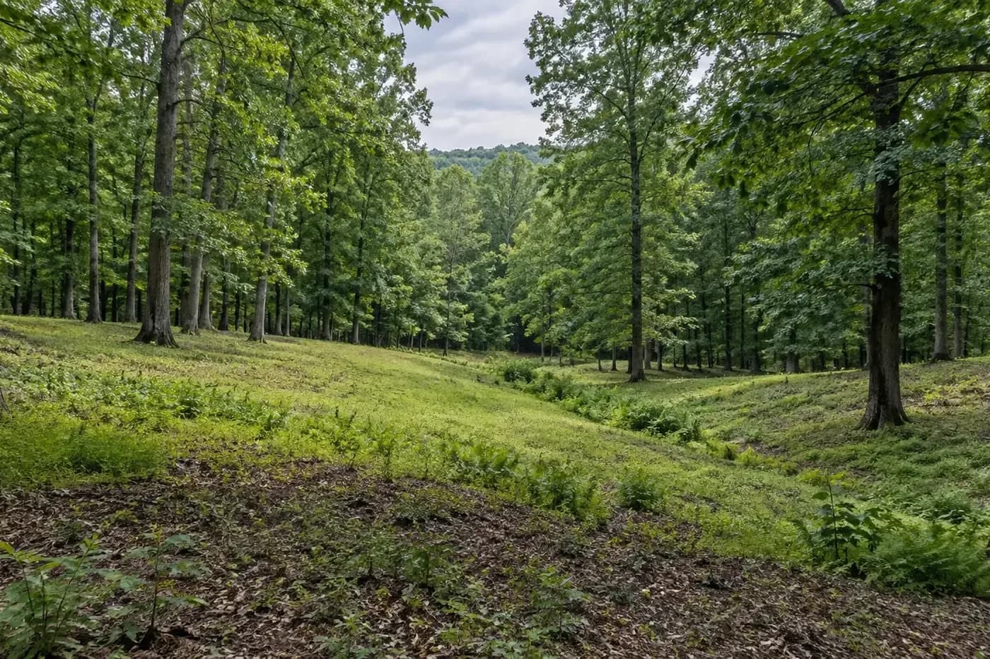
Walk the property with the current site information before clearing obscures the existing conditions. Compare visible boundaries and survey markers with the drawing; note grade breaks, low areas, ditches, swales, pipes, rock, wet ground, large roots, neighboring runoff, overhead lines, and existing features near the planned work. Field observations do not replace a survey or licensed analysis, but they can reveal questions that the paper set needs to answer.
Create a dated photo record from repeatable viewpoints, including the property edges, priority trees, drainage paths, proposed building area, and adjoining conditions that could be affected. The record is not permission to proceed through a conflict. It gives the project team a common reference when a condition looks different after vegetation, leaf litter, or surface soil is removed.
Use this walk to identify assumptions that need a professional decision. An unmapped inlet, a suspected drainage easement, a tree whose trunk or roots fall near the proposed excavation, or a grade that does not match the design base should be resolved before the work erases the evidence or makes the alternative more expensive.
Mark both the work area and the land that must stay untouched
A useful clearing layout marks more than the future foundation. It identifies the approved limits of disturbance, building and excavation area, access route, staging or stockpile zones when allowed, utility paths, and the places that must remain outside the work. The responsible surveyor or project professional should establish the layout appropriate to the project; a rough paint line based on an old sketch is not a reliable substitute.
Give retained trees and natural areas visible protection before machinery reaches the property. The required protection depends on the jurisdiction, approved plan, tree status, and professional recommendations. In practical terms, the protected area needs to be large and clear enough that traffic, trenching, material storage, grade changes, and soil compaction do not quietly consume the roots and ground the design intended to preserve.
Also identify buffers, easements, drainage features, and neighboring edges that cannot become convenient leftover space. A material pile, temporary route, or utility trench can cause permanent damage even when it sits outside the building footprint. The field markings should make the approved site strategy obvious to everyone entering the lot.

Put the required erosion and sediment controls first in the sequence
Clearing exposes soil to rainfall and runoff, so erosion control is not a cleanup item for later. North Carolina DEQ explains that land disturbance can accelerate erosion and carry sediment into water bodies, drainage systems, and neighboring property. The applicable plan, permit, local program, and responsible professional determine which measures are required and when they must be installed or inspected.
Sequence matters. Establish the required stabilized access and perimeter or inlet protections before broad disturbance where the approved plan calls for them. Clear only what is necessary to install the initial controls, then obtain any required inspection or release before continuing. Keep runoff paths visible and avoid placing soil or materials where they block drainage or wash toward the property edge.
Controls also need an owner, an inspection routine, and a maintenance path. Storms, deliveries, grading, and utility work can damage a measure that looked complete on the first morning. The team should know who checks conditions, where findings are recorded, how corrections are made, and who decides whether the approved approach needs revision.
Coordinate access, soil handling, and utilities before the site fills up
The first access route often becomes the path used by many trades, so test it against the finished driveway, drainage, trees, utility crossings, and the area needed for excavation. A route that simply follows the shortest opening can compact future planting soil, damage roots, cross a protected feature, or occupy the only workable location for another site system.
Decide where suitable topsoil or other approved material will go, how it will be protected, and what cannot be stockpiled on the lot. Keep storage and staging outside drainage paths, protected root areas, easements, and land intended to remain undisturbed. The responsible team should determine how soils are evaluated, separated, reused, removed, or stabilized for the actual project.
Locate known utilities and coordinate proposed routes before clearing creates pressure to choose the easiest trench. Water, sewer or onsite systems, power, communications, gas where selected, and storm drainage can compete with foundations, trees, retaining, outdoor rooms, and future service access. A field-ready sequence should show where those routes are expected and what remains to be verified.

End with a pre-clearing walk and explicit hold points
Bring the current drawings to the property and walk the markings with the builder, site contractor, and the survey, civil, landscape, arboricultural, or other professionals whose scopes are affected. Compare the proposed work area with the actual trees, grade, drainage, access, utilities, and neighboring conditions. Correct a misplaced line before it becomes a missing tree or an excavation in the wrong place.
Agree on hold points for conditions that cannot be decided by the equipment operator. Examples include an unmarked utility, unexpected rock or wet soil, an unknown pipe, questionable boundary evidence, roots from a protected tree, a drainage path that differs from the plan, or a requested clearing expansion. The safe instruction is to stop in the affected area and route the question to the responsible person.
Record the final walk, open questions, approved adjustments, and release to proceed. Keep that record with the current field set. Max Built can help coordinate the site and home team before ground-up construction begins; review the custom-home process and contact the team while the clearing limits and construction sequence can still be resolved deliberately.
Sources and editorial notes
City of Charlotte individual residential lot reviews
Charlotte-Mecklenburg Storm Water Services land development plan reviews
North Carolina DEQ erosion and sediment control program
North Carolina DEQ stormwater program
Prepared with AI assistance and editorially reviewed by Sage. Architectural images are illustrative, not documented Max Built projects. This organizational guide does not replace project-specific professional advice.
Questions to resolve before clearing a Charlotte custom-home lot
Can a Charlotte custom-home lot be cleared before the house plans are final?
Do not assume that preliminary house plans justify broad clearing. The home placement, finished elevations, access, drainage, utilities, trees, outdoor program, and applicable approvals need enough coordination to define a defensible work area. The responsible local agencies and project professionals should confirm what may proceed for the specific property.
Who should mark the clearing limits?
The answer depends on the approved documents and project scope. Survey layout, civil information, tree-protection requirements, and contractor field markings may each have a role. Assign responsibility in writing and compare the markings with the current drawings during a pre-clearing walk rather than relying on an informal estimate.
Does a project disturbing less than one acre need erosion control?
Do not use acreage alone to decide that nothing applies. State stormwater permit thresholds, local erosion-control requirements, subdivision or larger-common-plan status, flood or buffer conditions, and the actual risk of off-site sediment can lead to different obligations. Confirm the current rules with the appropriate reviewing authority before disturbance.
What should stop clearing work for another review?
Stop in the affected area when field conditions conflict with the current plan or markings—for example, an unexpected utility or drainage feature, uncertain boundary evidence, protected-tree roots, unanticipated wet ground or rock, or a requested expansion beyond the approved disturbance area. The responsible professional or agency should resolve the issue before work continues there.
How is this different from preparing a site plan?
The site plan defines how the home and property should work together. The pre-clearing process translates the current plan and approvals into field markings, protection measures, sequencing, responsibilities, and stop-work decisions before the ground changes. Both are necessary, but they answer different questions.
Build the right plan before construction begins
Tell us about your property, priorities, and the way you want to live. We'll help organize the next decisions around a clear, buildable path.