

Which Survey Does a Custom-Home Lot Need Before Design?
By David K
8 min read
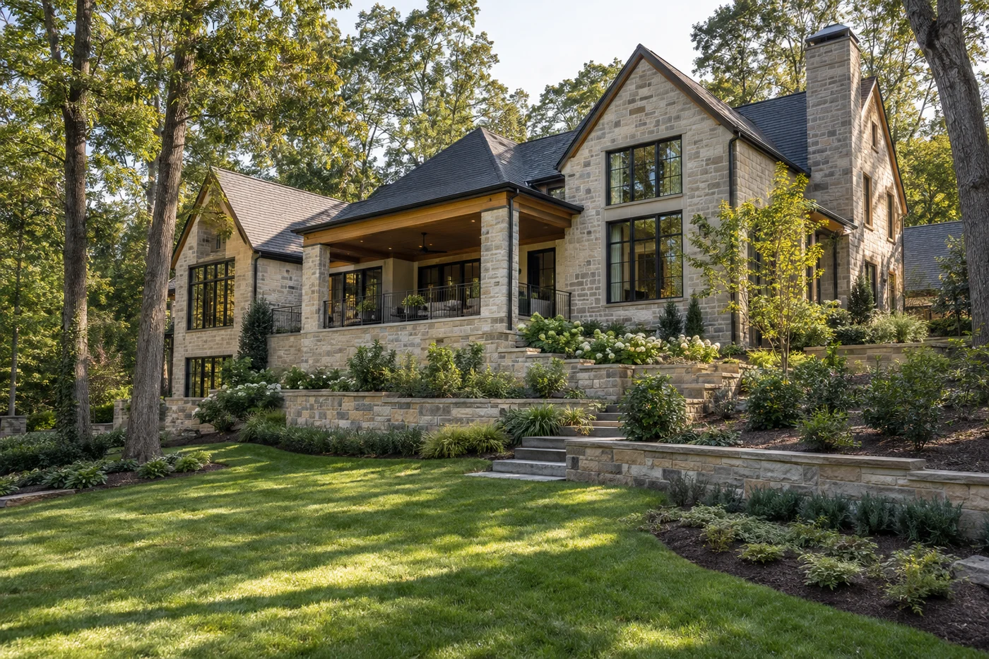
There is no single survey label that answers every custom-home question. Before design begins, tell a North Carolina professional land surveyor and your design team what decisions the work must support: ownership boundaries, recorded easements, usable grade, existing site features, trees to study, access, utilities, drainage context, and the proposed house location. Ask the team to define the appropriate scope for the specific property, deliver one coordinated base file, identify its sources and limits, and update it when later layout or as-built information is required. County GIS is useful research context, but it is not a substitute for property-specific professional work.
Planning a new home? Explore Max Built's custom-home process, then view the craftsmanship in our project portfolio.
Start with the decisions, not a generic survey order
A request to 'survey the lot' is incomplete until the project team knows what the information will be used to decide. A buyer checking whether a property can hold a broad one-story home has different immediate questions from an owner placing a house, pool, detached structure, septic area, and long garden view on the same land. The professional surveyor should help define the service, but the design brief still needs to describe the intended work.
Begin with a short site program. List the proposed home, roof overhangs, terraces, pool or future pool, everyday and guest arrival, service areas, important trees, utility questions, onsite water or wastewater areas, and any detached structures under serious consideration. Add the design decisions that depend on accurate grade or location information. That gives the surveyor, architect, builder, civil or landscape professionals, and owner a shared question set instead of several private assumptions.
The scope remains property-specific. This guide does not decide which survey product, contour interval, limits, certifications, or construction layout services a particular project requires. Those choices belong with the licensed surveyor and the professionals responsible for the actual site and approvals.
- Which property edges and recorded interests need to be researched and shown?
- Which elevations and site features will affect house placement or grading?
- Which existing improvements, trees, walls, utilities, or drainage features matter to design?
- Which later construction-layout or as-built checks should be anticipated now?
Separate boundary evidence from convenient map context
Online parcel maps are useful for early research. They help identify a parcel, explore nearby records, and start questions about jurisdiction or surrounding land. They should not quietly become the linework used to place a custom home. Mecklenburg County's GIS Data Center tells users to consider possible errors, map scale, collection methods, and data currency, and advises checking primary public records such as recorded deeds and plats.
North Carolina law treats locating or retracing property lines, easements, and boundaries as the practice of land surveying. It also defines a professional land surveyor through state licensure. For the homeowner, the practical rule is straightforward: ask a North Carolina professional land surveyor what boundary research and field work are appropriate for the intended use. Do not use a crisp-looking GIS line, fence, old sketch, or seller markup as a substitute for that answer.
Keep recorded information and observed conditions distinct. A plat, deed reference, title document, visible fence, and field-located monument can each contribute information, but they are not interchangeable. Let the responsible professionals explain what was researched, what was measured, what was supplied by others, and what still needs legal or title review.

Capture the ground the design team actually needs
A boundary can establish the horizontal framework while leaving major design questions unanswered. The architect may need reliable grade information to compare floor elevations, entry conditions, garden connections, retaining transitions, and a possible walkout level. Civil and landscape professionals may need existing features that affect drainage, access, tree preservation, or site grading. The exact data and coverage should be agreed before field work begins.
Ask the design team to mark an area of interest instead of assuming the same detail is needed everywhere. A wooded edge that will remain untouched may require a different level of information from the future house, arrival court, pool terrace, septic area, or narrow access corridor. Conversely, an early field limit that stops at the proposed footprint can become too tight when the home shifts or an outdoor room expands.
Feature names also need care. A visible ditch, pipe, overhead line, tree, wall, or apparent path is an observed condition; its ownership, capacity, condition, legal status, or design significance may require separate records and qualified evaluation. A good base map helps the team ask better questions. It does not turn every mapped feature into a verified engineering or legal conclusion.
Build one coordinated site base before the footprint hardens
Once the survey information is delivered, the team should agree on one current site base. It should identify the surveyor's deliverables and date, coordinate system or reference information where applicable, source notes for data supplied by others, and any limits or unresolved items the team must carry forward. Separate files with slightly different property lines, grades, or tree locations are not a harmless administrative issue; they create different versions of the land.
Overlay the intended home program on that base. Show more than exterior walls: roof edges, steps, terraces, retaining transitions, pool concepts, parking and turning, service areas, significant landscape zones, construction access, utilities, and any permit-identified onsite-system areas. The point is not to finish every discipline at once. It is to expose where two good ideas are trying to occupy the same ground.
Then compare at least a few credible house placements. A shift that improves the garden connection may change grading or tree impacts. A rotation that protects privacy may narrow access. A lower floor elevation may help one threshold and complicate another. Those are design decisions, but they are only useful when everyone is testing them against the same measured property information.

Plan for survey information to change roles
The design base is not necessarily the final survey task. As the project advances, the team may need property-specific layout, elevation, stakeout, or as-built services. Which checks are required depends on the jurisdiction, approvals, lender or title needs, design, and construction plan. Ask the surveyor and project team to map those decision points early rather than treating every later visit as an emergency.
The City of Charlotte's individual residential lot review process can involve zoning, stormwater, urban forestry, and erosion-control review as applicable to the proposal and site. That does not mean every Charlotte-area property follows one identical path; addresses outside the city or in surrounding counties and towns may have different authorities and submittal needs. Confirm the actual jurisdiction and current requirements for the parcel.
When the house moves, the finished floor elevation changes, or a major site feature is added, record which survey-dependent drawings must be refreshed. Do not assume a PDF opened from an old email is still the governing base. A simple revision log—date, source file, change, responsible professional, and affected drawings—helps the team know what is current.
Use a clear handoff test before design advances
Before the floor plan and exterior massing become difficult to move, hold a site-base review. Ask the surveyor and design team whether the current information is suitable for the decisions being made now, whether the important property and topographic questions have been addressed, and which open items still depend on records, field work, engineering, title review, utility confirmation, or agency feedback.
The handoff should leave the owner with the signed or certified deliverables provided for the engagement, the usable digital files agreed in the scope, source and revision notes, and a short list of unresolved questions. Store them with the deed, recorded plats, title material, utility responses, onsite-system records, and jurisdiction correspondence, while keeping each document's purpose clear.
The goal is not a survey folder that looks complete. It is a design team working from reliable, current land information with known limits. Bring that package into the first serious site-planning conversation with the architect, builder, and applicable site professionals. Max Built can help organize the custom-home discussion while the footprint, floor levels, access, and outdoor program are still flexible.
Sources and editorial notes
North Carolina Engineering and Land Surveying Act (Chapter 89C)
North Carolina Board rules for engineering and land surveying
Mecklenburg County GIS Data Center disclaimer
City of Charlotte individual residential lot reviews
Prepared with AI assistance and editorially reviewed by Sage. Architectural images are illustrative, not documented Max Built projects. This organizational guide does not replace project-specific professional advice.
Survey questions before custom-home design
Is a county GIS parcel map enough to design a custom home?
No. Use county GIS as research context, then ask a North Carolina professional land surveyor and the design team what property-specific boundary, topographic, and site information the project requires. Mecklenburg County itself warns users to consider errors, map scale, methodology, and data currency and to consult primary public records.
Do I need both boundary and topographic information?
Many custom-home decisions depend on both where the property framework is and how the land and relevant features are configured. The exact service and level of detail are site-specific, so have the licensed surveyor and design team define the scope from the proposed home and approval path.
Should trees and utilities appear in the survey base?
They should be discussed when they affect design, access, grading, preservation, or service routes. Ask which features will be field-located, which will come from records or utility providers, and which require separate qualified evaluation. Do not assume a mapped line establishes condition, capacity, ownership, or legal rights.
When should survey work begin for a custom home?
Begin scoping it while evaluating the lot or before serious site and floor-plan design. The team needs reliable land information while the house can still shift, rotate, or change elevation. Later layout or as-built services may still be required as the project advances.
What should I send the surveyor before requesting a proposal?
Send the parcel identification and available deed or plat references, the intended home and site program, known easement or utility questions, areas the design team expects to study, the anticipated jurisdiction or approval path, and the names of the architect, builder, and other site professionals who will use the information.
Build the right plan before construction begins
Tell us about your property, priorities, and the way you want to live. We'll help organize the next decisions around a clear, buildable path.